
Giethoorn Water Villages
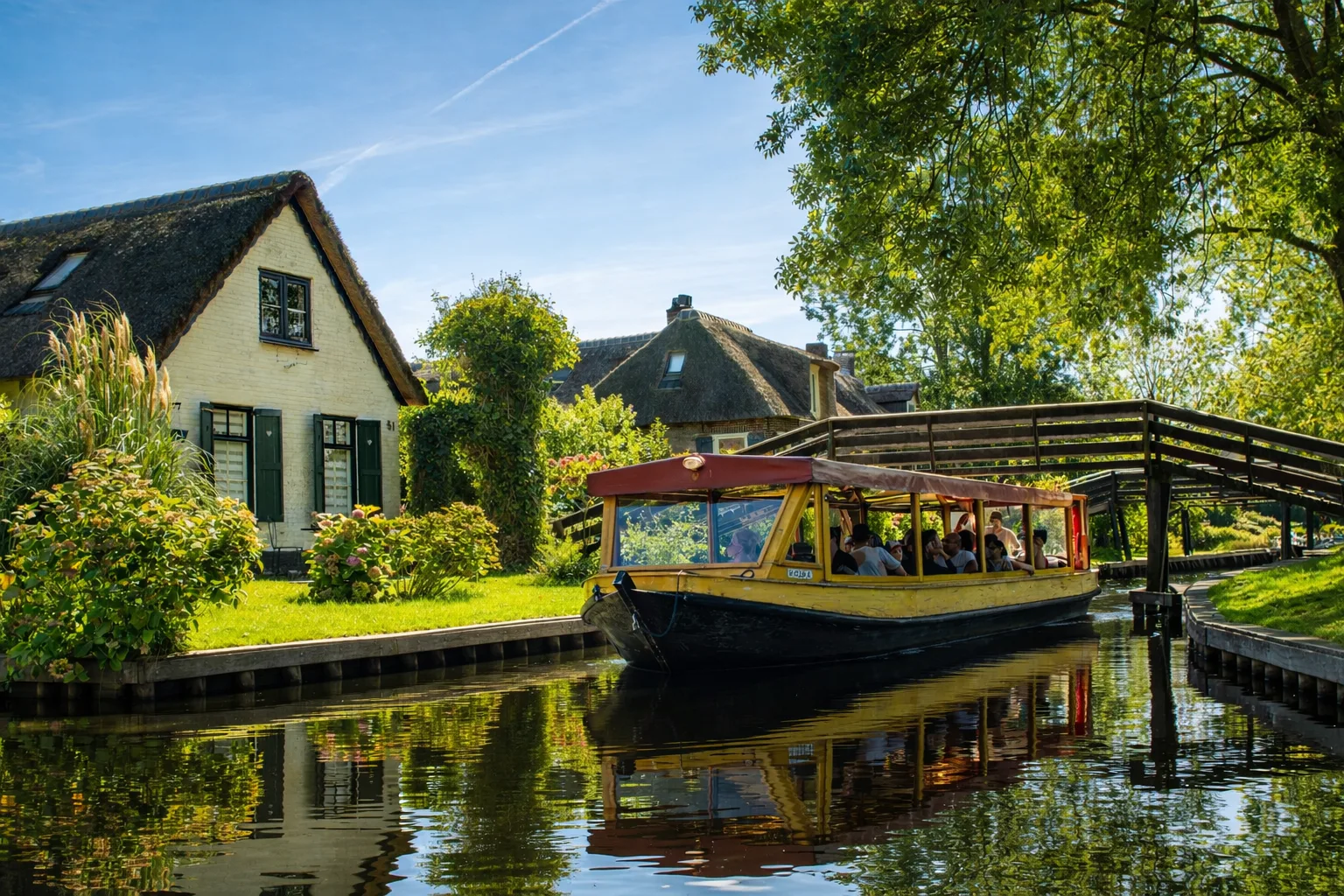
Cycle through the watery villages of Wanneperveen, Dwarsgracht and Giethoorn, where life has been tied to the water for centuries. Enjoy canals, little bridges and reed beds. Along the way, taste delicious regional products from local makers.
Route map
About this route
Giethoorn Water Villages is a cycling route of 48.1 km. You finish at a different point from where you start. Allow about 3 h 10 min.
A long bike ride of more than 48 kilometres through the watery countryside around Giethoorn. You cycle through Wanneperveen, Dwarsgracht and Giethoorn, as well as Blokzijl and Sint Jansklooster.
You will see plenty of water along the way: the Beulakerwijde, Belterwijde and Boschwijde lakes and the Giethoornsche Meer. The route runs through Weerribben-Wieden National Park and past the De Weerribben nature reserve. In Blokzijl you pass the Gildenhuys.
Allow just over three hours of cycling, without stops.
Practical information
Starting point: View the starting point on OpenStreetMap
Share and print
Send this route to someone, scan the QR code or print an A4 overview.

Plan your visit
More information on Giethoorn.com:
Other routes
More routes for walking, cycling or boating.
Cycling route
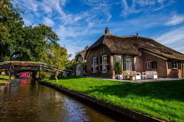
Giethoorn Cycling Loop
A lovely bike ride through Giethoorn. This route takes you through every part of the village: Giethoorn-Zuid, Giethoorn-Noord, Dwarsgracht and along the Beulakerwijde lake. A beautiful ride.
- Distance
- 19.2 km
- Duration
- 1 h 15 min
- Loop
- Loop
Cycling route
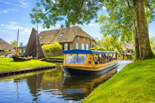
Giethoorn Complete
Cycle through water villages such as Giethoorn and Dwarsgracht. From here, peat cutters once worked in the bogs. When an area had been dug out, they moved on with all their belongings.
- Distance
- 26.3 km
- Duration
- 1 h 45 min
- Loop
- Loop
Cycling route
Giethoorn Woldberg
A route full of ups and downs. Just outside Steenwijk, a surprisingly hilly landscape awaits, with slopes and ridges from the Ice Age. A ride over hills, through woods and marshland and along endless waterfronts.
- Distance
- 44.1 km
- Duration
- 2 h 55 min
- Loop
- One way